
Web Style Guide: Maps
Maps should have titles on top (using <h2> to <h4> tags, as appropriate) and descriptive captions. Follow image and map standards (see Related Links below).
On This Page:
- Embed GeoPlatform maps
- Create standard Where You Live or US area maps
- Link static images to larger or more interactive maps
- How Tos
Example of a GeoPlatform map embed
Includes a title and caption.
Right of Way Thorium Survey Reports
EPA has agreed to host a web-based repository of radiation testing reports and other technical documents for the benefit of those conducting work within the rights-of way.
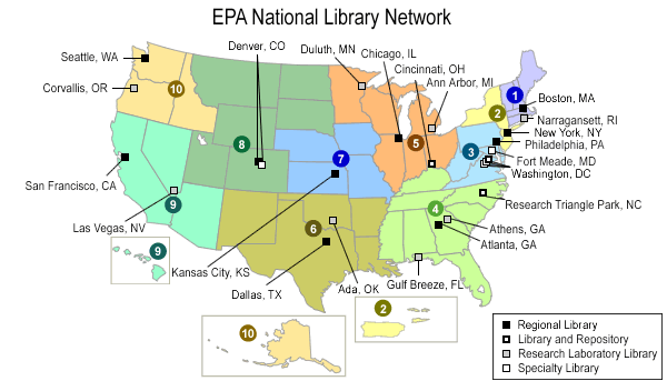
Example of a standard US Map
Includes a caption below the map. Each region is a separate link.
Example of a static image linked to larger map, with caption
Map uses the standard image style, with caption.
Three New Bedford Harbor Fish Closure Areas

How To
For all maps, be sure to add titles, in appropriately sized headers, and captions (as needed).
For GeoPlatforms maps embedded in an iframe
- When your map is approved for public access, use the iframe code provided by your GeoPlatform Administrator to embed the map on your page (disable rich text and paste code). When your page is published for public access, the map will become publicly accessible as part of the page at the same time.
- NOTE: After publication, any changes you make to the map will also be seen by the public via your web page. If you want to edit the map without making the edits public, save the map to another name first, and make your edits to the copy.
For linked static images
- Use the Add Files and Images button to upload a large-scale map image. Select a format, then check the box Link to original image on the options screen,
- Or, to link an image to a separate web page:
- Select the image, then click the Link button to insert the link.